- 24/7 Live Support
- 3rd floor, H and A plaza, Off Olusegun Obasanjo way, Wuye FCT Abuja, Nigeria
- admin@ajkobaly.com


Capture Every Moment

The payload is a triple sensor AI Tracking Payload that consists of a super image stabilizer and embedded AI sensor that integrates:
This gimbal design achieves fast focus anti-interference and improved heat dissipation to ensures uptime. The 3-axis gimbal achieves high levels of stabilization in yaw, pitch, and roll actions. It also has added benefit from AI object identification and tracking module, which identifies and tracks vehicles and humans, automatically recognizing and tracking targets.

A military grade touchpad that is used as a tablet in field to help drive efficiency and effectiveness of mission execution. Purposefully made to make it user friendly and mainly focused on applications in aviation, defense, and construction markets, due to its robust design for use in extreme conditions.
Optional Peripherals Bluetooth,W3G,4G,LTE,RJ45 Gigabit ethernet Aeronav peripherals HID, 2 x USB connectors, PPM connector, SBUS Connector, Microhard, RFD868X/RFD900X, TSLRS RC link
Dimensions Screen size: 25.4cm, weight: 1200g, Size: 401 x 202 x 88 mm Joystick input OTTO Hall-effect, Castle style joystick IP68S, Alps Potentiometer
joystick, Control MEC Hat switch, Joystick input MON-ON toggle switch, Momentary pushbutton with sealboot, ON-OFF (Top panel input) Toggle switch, ON-ON toggle switch, Potentiometer, MON-OFF-MON toggle switch, MON-OFF-ON Toggle switch,
– Screen size:25cm, weight:1200g
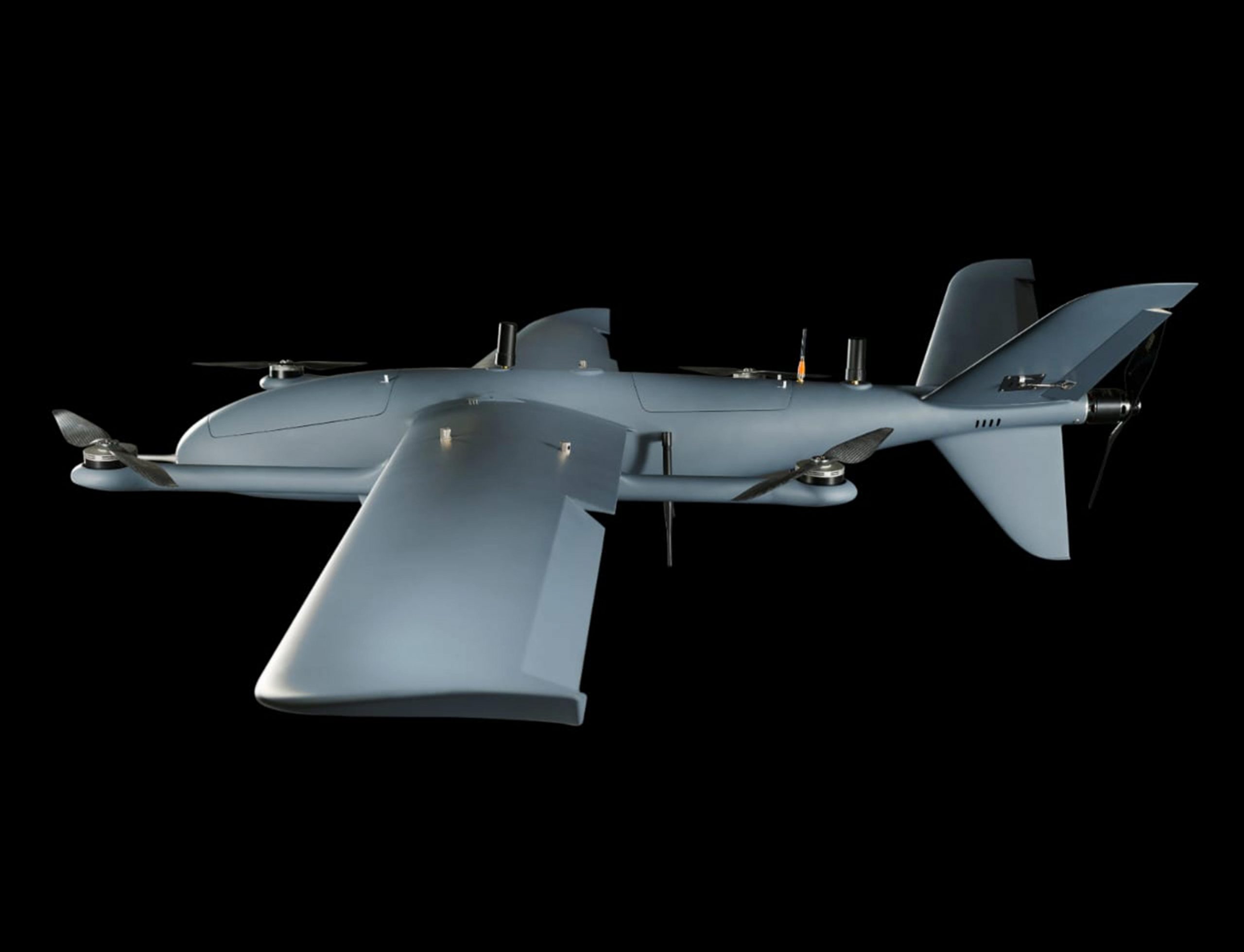
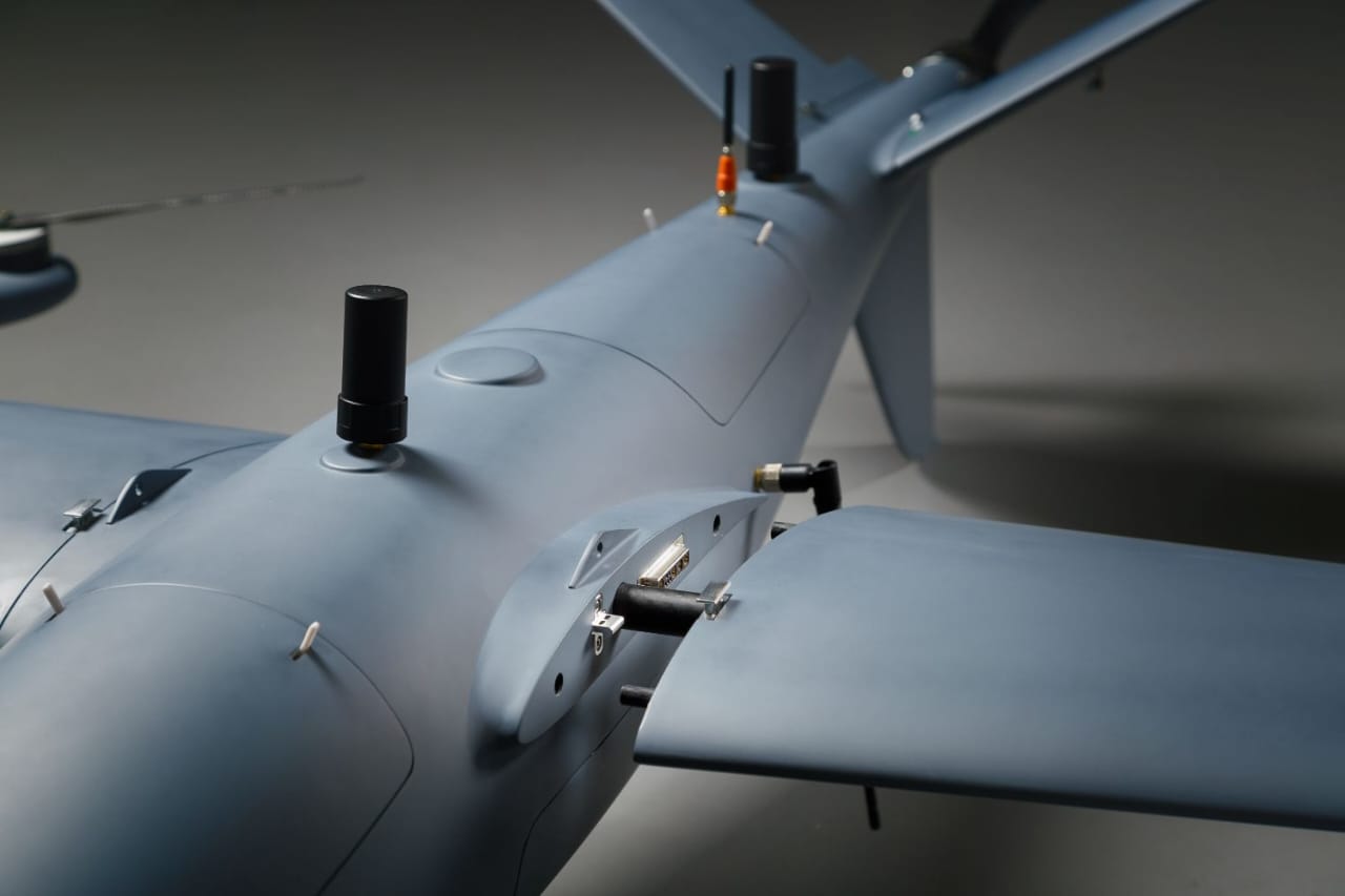
Atlas UAV provides military users with unmatched strategic advantages and it over a range of military UAVs, designed especially for ISTR missions. Thanks to the capability of flying at low altitudes, thus enabling under–the-radar flight, and to minimal acoustic and visual signature construction, a covert operation is made possible. the Easy-to-operate tactical UAV systems carry high-quality day and night payloads with real-time communication and video links.
Rapid deployment is another aspect of high importance while performing ISTR missions; these innovative systems are built to enable minimal turnaround time and immediate portability. Atlas Tactical drone can be assembled in less than five minutes, swapping batteries and sensors is a ‘plug-n-play’ procedure that one person can perform with no need for complex training.
All these, combined with VTOL (Vertical Takeoff and Landing) and up to 3hrs (Longer with the fuel option) of endurance, are made to support the operational concept of independent Intelligence gathering by a platoon in combat with our military drones.
The delivery of target status analysis and geographic data directly to a small tactical unit or individual soldier is priceless. Information gathering is made accessible, easy and not life-threatening as it was before. Making use of these UAVs saves lives while obtaining a significant advantage during wartime.
Atlas Tactical Drones are operated from a unified GCS (Ground Control System) which presents all gathered information in one coherent, user-friendly application. The drone GCS is based on a ruggedized laptop that can be used in harsh environmental conditions that can be encountered in a war zone.

Some of the drone’s mission advantages include enabling around-the-corner insights in real time; which allows warning the team for enemies and potential threats. This type of information ensures safer movement in urban, rural and different terrains, therefore making troops proactive based on field intelligence. Obtaining this critical information reduces the risks for soldiers and civilian populations by pinpointing military response accurately to the potential threat.

Any disaster threatens the welfare and health of people, even more so for large-scale disasters with
proportionally significant impacts. Therefore, a rapid and effective response mechanism is necessary
when disasters occur to assist the affected population and mitigate the economic and social effects.
However, in most cases, one of the biggest challenges emergency rescue teams face in disaster-stricken
areas is limited access to accurate data, enabling them to assess the situation and understand the
severance levels.
Atlas Tactical UAV will be a very handy equipment and will be very helpful in locating the trapped victims
during the flood which had claimed many Lives in Nigeria year in-Year out.
The application of drones eq

uipped with optical, zoom, and/or thermal cameras allow law enforcement
agents to monitor unfolding crime scenes more accurately and at a safer distance.
A quickly deployable camera drone allows officials to have a better vantage point during times of
chaotic situations where deploying ground personnel is too risky.
Aerial vantage points also allow post-accident scenes or crime scenes to be fully documented and
reconstructed to help understand the timeline of events for each incident.